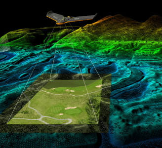
Geo-4D is an independent geo-consultancy based in Oxfordshire, UK, specialising in advanced remote sensing, 3D data services. Our core staff experience combined with a hand-picked suite of the best software available enables efficient and effective workflows, delivering accurate, cost-effective and flexible solutions.
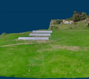
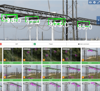
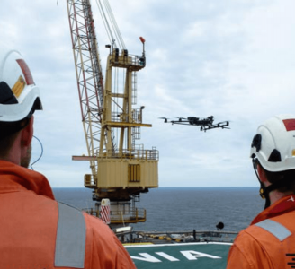
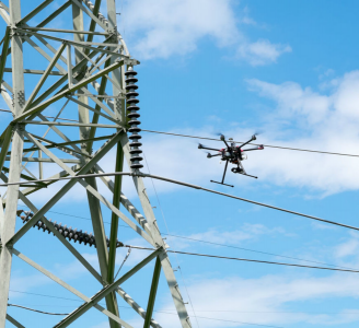
Geo-4D work on data from marine, terrestrial and aerial sources, supporting a wide range of projects in sectors including Mining & Aggregates, Construction, Renewables, Agriculture, Hazards & Risk, Environment & Conservation, Engineering, Site Restoration & Development.
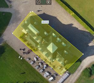
Reporting and data delivery is completed as digital, hard copy and online, as required, with all CAD and GIS formats supported.
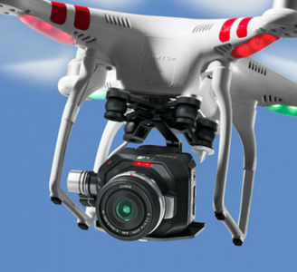
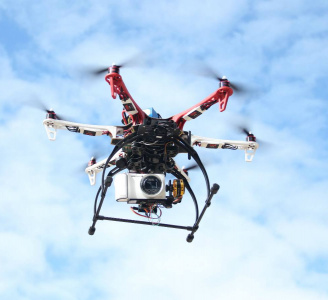
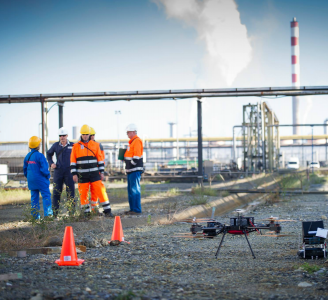
Geo-4D also offers client representation and project management, with Geo-4D UAV managing a network of CAA approved drone pilots.