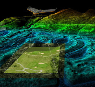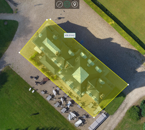
Geo-4D - Online Portal: Air Support by Parrot
Through our partnership with Parrot AS, Geo-4D can offer a fully interactive, online delivery platform for 2D and 3D drone data. Visualise 3D models of your buildings, 2D orthomosaics of your full site and add accurate measurements & calculate volumes, without the need to download specific software packages.
The Detail
The portal can also be used to perform technical inspections, with the click-to-view feature allowing you to select an area of interest on the 3D model and view the original high-resolution photographs used to generate the model. Share your data freely across your team, adding comments and notes that can be passed on and actioned, all in one virtual environment.
You may also like


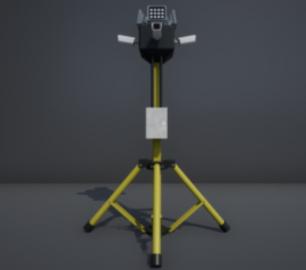
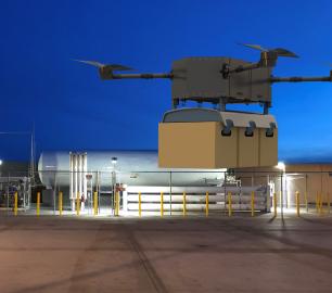
Intelligent Energy

2.4 kW Fuel Cell Power Module
CALL FOR ASSISTANCE
Lightweight power module for UAVs and other portable applications
Product DetailDRONE TRACKING TECHNOLOGIES
The P-Series VAD drone detection system
CALL FOR ASSISTANCE
The P-Series VAD drone detection system
Product DetailMicrobyte Solutions Ltd

White Label 24/7 IT Helpdesk
CALL FOR PRICE
You can outsource your IT Helpdesk from only £500 a month.Microbyte White Label boosts your suppo
Product DetailALTI
Reach - VTOL UAV
CALL FOR ASSISTANCE
The ALTI Reach is the upcoming 'bigger brother' to the ALTI Transition.
Product DetailTeal Consulting

Operational Excellence
CALL FOR ASSISTANCE
Teal Consulting - Operational ExcellenceOperational excellence is crucial to businesses achieving
Product Detail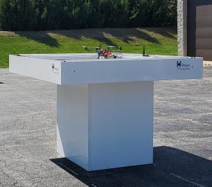
Microbyte Solutions Ltd

Telecoms
CALL FOR ASSISTANCE
Complete telecoms for a fixed monthly feeWhen it comes to business grade telephone solutions,
Product Detail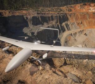
Heven Drones
H250
CALL FOR ASSISTANCE
The H250 will be the workhorse of Heven’s heavy lifting drones.
Product DetailDRONE TRACKING TECHNOLOGIES
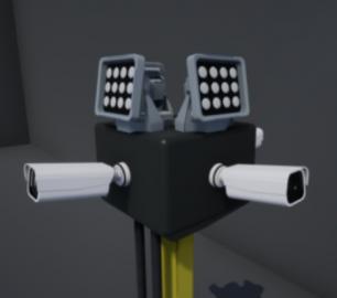
The F-Series VAD drone detection system
CALL FOR ASSISTANCE
The F-Series VAD drone detection system.
Product Detail
tlmNexus Ltd
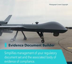
EVIDENCE DOCUMENT BUILDER
CALL FOR ASSISTANCE
Tool overview: what will Evidence Document Builder (EDB) solve for me? Complying with t
Product Detail
tlmNexus Ltd
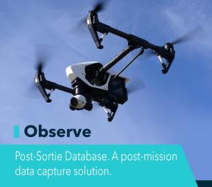
OBSERVE
CALL FOR ASSISTANCE
Tool overview: what will Observe -Post-Sortie Database solve for me?Designed by pilots for pi
Product DetailHeven Drones
H100
CALL FOR ASSISTANCE
The H100 represents the beginning of Hevens heavy lifter drones.
Product Detail