Wingtra - WingtraOne
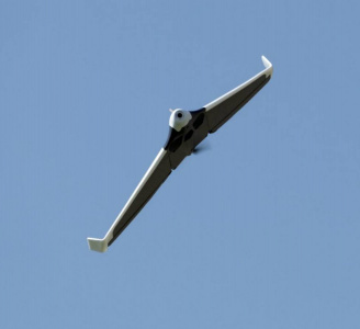
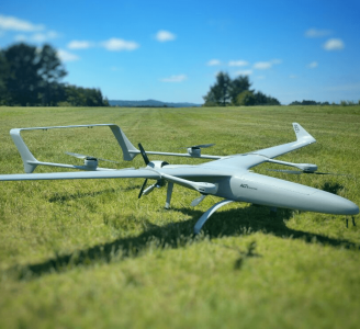
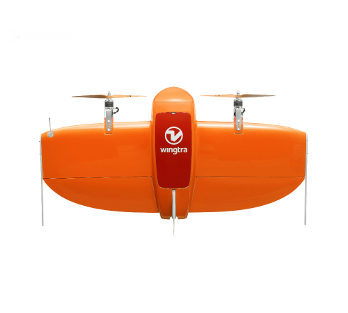
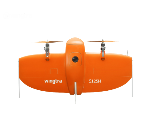
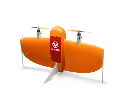
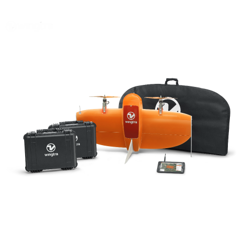
Meet the WingtraOne: a professional drone that simplifies mapping and surveying through easy and smart aerial data collection.
The Detail
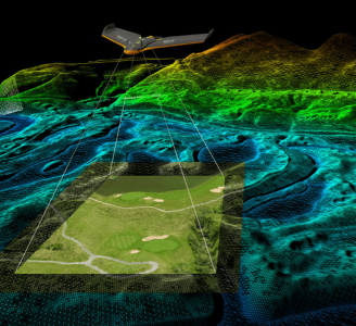
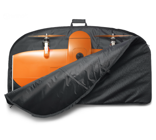
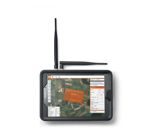
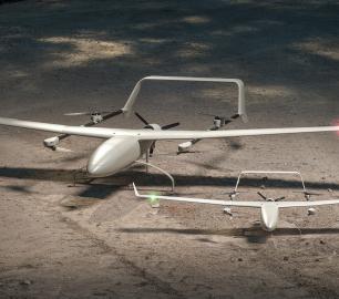
Thanks to its unique design, the WingtraOne is as easy to use as an agile multicopter with the long range and speed of a high endurance fixed-wing airplane. Its smart navigation software, WingtraPilot, allows you to intuitively plan your survey flight. It can be customized with various high-end cameras to capture high-resolution aerial images to generate accurate orthomosaics and 3D models. The WingtraOne is equipped with the best components, giving you a professional drone that is particularly robust and efficient.
Read moreThe best cameras for your application
-
Sony QX1 - 20mm lens - Professional entry bundle for hands-on surveyors - APS-C sensor, 20 mega pixel, focal length equivalent (at 35mm): 30mm, RGB - Professional mapping and surveying - High image quality, flexible lens options
Sony QX1 - 15mm Voigtländer lens - Sophisticated bundle for 3D reconstruction specialists - APS-C sensor, 20 mega pixel, focal length equivalent (at 35mm): 22.5mm, RGB - Professional mapping and surveying, 3D reconstruction - Brilliant image quality, Largest coverage at limited flight altitude, flexible lens options
-
Sony RX1RII - 35mm lens - - Best quality bundle for the high-res aficionado - Full-frame sensor, 42 mega pixel, RGB - Professional mapping and surveying, forest and mountain reconstruction - Brilliant image quality, best coverage / GSD, low GSD
Micasense RedEdge - 5.5mm lens - Advanced bundle for precision farmers - 5 individual custom sensors, multispectral - Precision farming, plant analysis - High quality multispectral images
Endurance: 55 mins
Range: Not specified
Payload: 800g
You may also like
tlmNexus Ltd
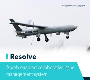
RESOLVE
CALL FOR ASSISTANCE
Tool overview: what will Resolve solve for me?Equipment issues that affect airworthiness, saf
Product DetailIntelligent Energy

2.4 kW Fuel Cell Power Module
CALL FOR ASSISTANCE
Lightweight power module for UAVs and other portable applications
Product DetailALTI
Reach - VTOL UAV
CALL FOR ASSISTANCE
The ALTI Reach is the upcoming 'bigger brother' to the ALTI Transition.
Product Detail
Heven Drones
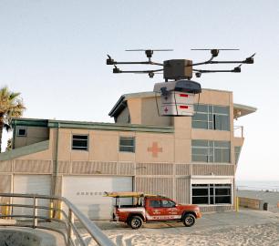
Urban Heven
CALL FOR ASSISTANCE
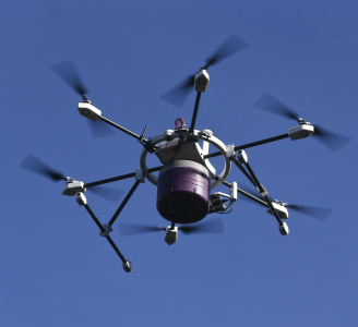
The Urban Heven is an advanced stage hexacopter drone capable of serving multiple mission types.
Product DetailValqari
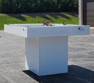
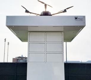
Valqari Single Locker (DevKit) Drone Delivery Station
CALL FOR ASSISTANCE
The Valqari single locker (DevKit) drone delivery station, enables full autonomous point-to-poi
Product DetailHeven Drones
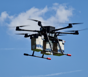
H100
CALL FOR ASSISTANCE
The H100 represents the beginning of Hevens heavy lifter drones.
Product Detail
tlmNexus Ltd
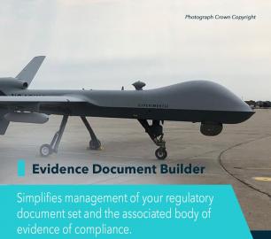
EVIDENCE DOCUMENT BUILDER
CALL FOR ASSISTANCE
Tool overview: what will Evidence Document Builder (EDB) solve for me? Complying with t
Product Detail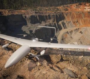
DRONE TRACKING TECHNOLOGIES
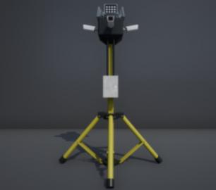
The P-Series VAD drone detection system
CALL FOR ASSISTANCE
The P-Series VAD drone detection system
Product DetailtlmNexus Ltd
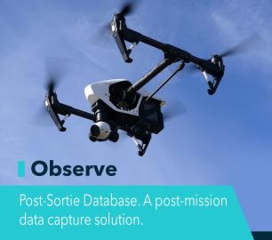
OBSERVE
CALL FOR ASSISTANCE
Tool overview: what will Observe -Post-Sortie Database solve for me?Designed by pilots for pi
Product DetailTeal Consulting

Developing Collaborative Business Relationships
CALL FOR ASSISTANCE
Developing Collaborative Business Relationships - ISO 44001Organisations have long recognised tha
Product DetailHeven Drones
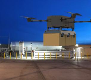
H250
CALL FOR ASSISTANCE
The H250 will be the workhorse of Heven’s heavy lifting drones.
Product DetailDRONE TRACKING TECHNOLOGIES
The F-Series VAD drone detection system
CALL FOR ASSISTANCE
The F-Series VAD drone detection system.
Product DetailtlmNexus Ltd
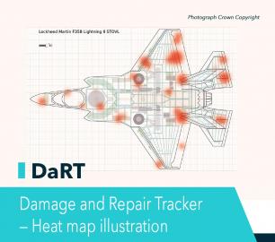
DAMAGE AND REPAIR TRACKER (DaRT)
CALL FOR ASSISTANCE
A popular consultancy and software solutionYour entire system’s damage and repair can be recorde
Product Detail
Related Articles
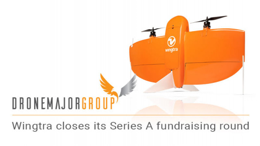
Wingtra Closes Series A Fundraising Round with $10M
The Swiss drone developer and producer, Wingtra Ltd., recently raised ...