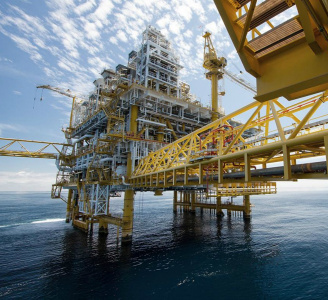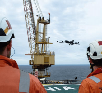
Aero Enterprise - Inspection
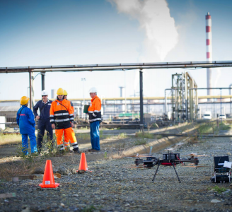
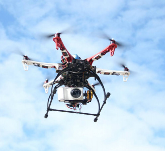
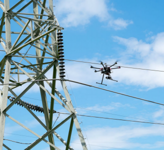
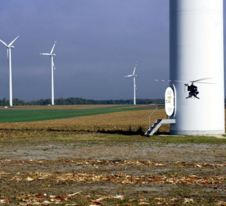
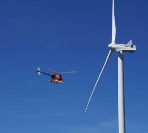
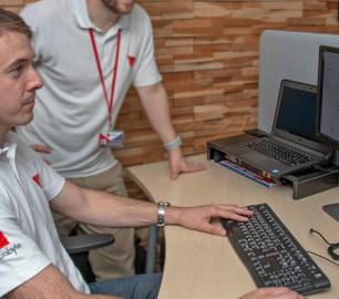
All high-resolution image data of the inspected objects are recorded using the self-developed AERO-SensorCopter®, which is specially designed to perform under harsh offshore weather and wind conditions.
The Detail
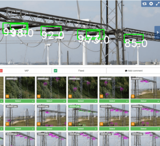
The AERO-SensorCopter® records image data in the normal and IR range from all components of a wind turbine in a semi-automatic flight. Several high-resolution cameras and sensors are attached to a gimbal, making a continuous and competed data collection possible. The collected data is analysed, qualified, and classified by the AERO-Software Package and a report is generated. Respective anomalies can be recognized in their exact geo-location and position. The anomalies can be quantified in area and length and classified according to standardized classes and types.
You may also like
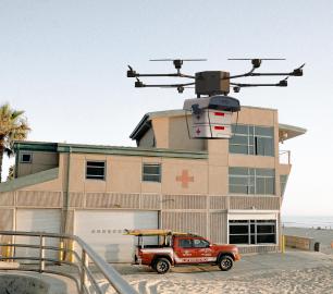
Valqari
Valqari Single Locker (DevKit) Drone Delivery Station
CALL FOR ASSISTANCE
The Valqari single locker (DevKit) drone delivery station, enables full autonomous point-to-poi
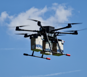
Product DetailHeven Drones
H250
CALL FOR ASSISTANCE
The H250 will be the workhorse of Heven’s heavy lifting drones.
Product DetailtlmNexus Ltd
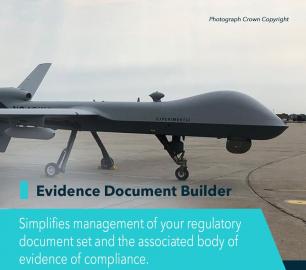
EVIDENCE DOCUMENT BUILDER
CALL FOR ASSISTANCE
Tool overview: what will Evidence Document Builder (EDB) solve for me? Complying with t
Product DetailHeven Drones
Urban Heven
CALL FOR ASSISTANCE
The Urban Heven is an advanced stage hexacopter drone capable of serving multiple mission types.
Product Detail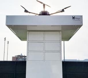
tlmNexus Ltd
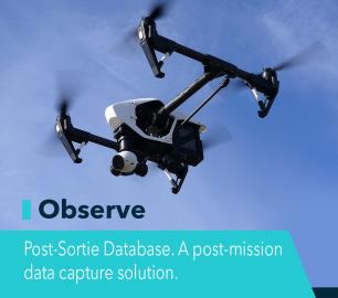
OBSERVE
CALL FOR ASSISTANCE
Tool overview: what will Observe -Post-Sortie Database solve for me?Designed by pilots for pi
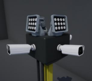
Product DetailDRONE TRACKING TECHNOLOGIES
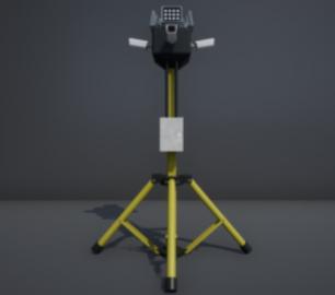
The P-Series VAD drone detection system
CALL FOR ASSISTANCE
The P-Series VAD drone detection system
Product Detail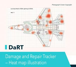
Heven Drones
H100
CALL FOR ASSISTANCE
The H100 represents the beginning of Hevens heavy lifter drones.
Product DetailtlmNexus Ltd
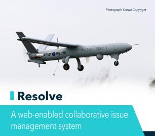
RESOLVE
CALL FOR ASSISTANCE
Tool overview: what will Resolve solve for me?Equipment issues that affect airworthiness, saf
Product Detail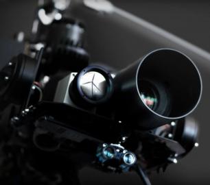
Microbyte Solutions Ltd
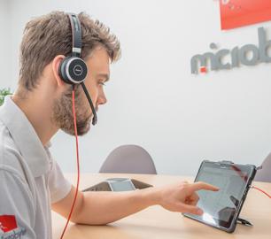
Telecoms
CALL FOR ASSISTANCE
Complete telecoms for a fixed monthly feeWhen it comes to business grade telephone solutions,
Product Detail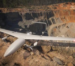
Intelligent Energy

2.4 kW Fuel Cell Power Module
CALL FOR ASSISTANCE
Lightweight power module for UAVs and other portable applications
Product Detail
Microbyte Solutions Ltd
White Label 24/7 IT Helpdesk
CALL FOR PRICE
You can outsource your IT Helpdesk from only £500 a month.Microbyte White Label boosts your suppo
Product DetailDRONE TRACKING TECHNOLOGIES
The F-Series VAD drone detection system
CALL FOR ASSISTANCE
The F-Series VAD drone detection system.
Product Detail